
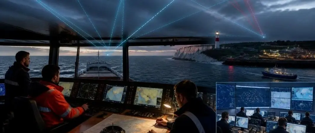
MCA MGN 719 Warns Superyachts on GNSS Disruption
By Stephen Yardley · Edited by Stephen Yardley
British Marine has highlighted the MCA’s 1 October MGN 719 on GNSS disruption, with recommendations for superyacht navigation resilience and bridge preparation.
The UK Maritime and Coastguard Agency has published Marine Guidance Note MGN 719 (M+F), addressing how maritime operators should prepare for the loss or corruption of satellite-based positioning, navigation and timing information. The government guidance was published on 1 October 2026, with British Marine drawing attention to it in a 13 October industry update. It is guidance on operational resilience, not an announcement that every vessel has suffered an incident or that a new positioning system has been mandated for all yachts.
The notice is addressed broadly to shipowners, operators, masters, officers of the watch, ports, harbour authorities and other maritime stakeholders. For superyacht captains and bridge teams, the central message is straightforward: a familiar position on a digital chart is only trustworthy when the underlying data and equipment are functioning correctly. Large yachts may combine sophisticated integrated bridge electronics, so failure of a single source of satellite data can have effects in several connected displays at once.
Global Navigation Satellite Systems, including GPS, Galileo, GLONASS and BeiDou, provide positioning and timing information to many vessel systems. The MCA distinguishes interference such as jamming, in which reception becomes unreliable or disappears, from spoofing, in which deliberately false information may be presented as a valid position. A particularly difficult situation is one where an apparently plausible display is wrong, because the discrepancy may not be obvious without independent position checks.
The guidance notes an increase in reported interference in parts of the Black Sea, Baltic Sea, Gulf region and East Asia, among other areas. It does not state that every voyage through those waters will encounter interference. Route-specific conditions can vary rapidly, and bridge teams should use the latest appropriate navigational warnings and local information. The relevance to superyachts is especially clear on international passages linking seasonal cruising areas and during close coastal approaches.
The MCA lists electronic chart systems, integrated bridges, AIS, radar functions using GNSS input, track control, autopilots, dynamic positioning and voyage-planning systems among equipment that may be affected. Position-related information can move between sensors and displays, which means that a single erroneous input may be repeated as though several systems independently agree. Recognising shared dependencies is therefore more important than simply counting how many screens are visible on the bridge.
Timing-dependent communications and monitoring arrangements also appear in the government guidance. Some data networks and control systems use GNSS-derived timing, although the exact architecture differs from yacht to yacht. An owner planning a navigation equipment upgrade should be aware that integrating more devices does not automatically deliver independent resilience. The superintendent or electronics specialist needs to know which sensors genuinely operate independently and which rely upon common inputs.
The notice recommends the continued competence to navigate using alternative information. Depending on the vessel and circumstances, these methods may include visual bearings, radar ranges and bearings, dead reckoning, estimated positions and independent sensors. Celestial techniques are also listed as a possible alternative where appropriate. No single method works in every environment, so the bridge team has to choose techniques that suit visibility, traffic, geography and the equipment available.
A radar-derived position check can help identify an implausible satellite fix when the coast or suitable objects are in range; equally, a visual transit or observed landmark can offer an independent comparison in good conditions. The purpose is not to discard electronic aids, but to maintain the ability to test their output. Passage planning should anticipate where alternative checks are possible and where reduced positional certainty would justify slowing down, altering a route or postponing a critical manoeuvre.
Superyachts over 24m may undertake voyages with professional watch rotations, pilotage arrangements, international port calls and differing levels of automation. The implications of navigation-data loss are particularly significant when the yacht is approaching a narrow entrance, maintaining clearance from hazards or manoeuvring near other vessels. Deck officers need clear procedures for recognising unusual positions and agreeing who makes navigational decisions when systems disagree.
Crew training can include realistic exercises in which one or more satellite inputs are unreliable and the team must compare independent indications. Such exercises should be conducted safely and in line with the vessel's own operational procedures, without creating a real hazard or disabling essential equipment during a voyage. The MCA is asking operators to review risk assessments, identify important dependencies, set response procedures and incorporate appropriate contingencies into emergency preparedness.
Navigation resilience involves more than installing the newest chart plotter. Shipyards, electrical integrators and specialist marine electronics companies can assist owners by documenting sensor inputs, alert behaviour, equipment architecture and available fallbacks. A bridge retrofit on an existing yacht may present different challenges from specifying resilient data paths during construction, when cable routing and equipment separation can be planned from an early design stage.
Operators also benefit from working with equipment suppliers to understand software warnings and how a sensor changes state after losing its position source. An alarm that is not recognised promptly can be nearly as troublesome as an absent alarm, especially when multiple devices are generating notifications at once. The government publication encourages engagement with service providers on resilience measures, but it does not prescribe a universal hardware package suitable for every vessel.
The MCA identifies terrestrial eLORAN as one element under consideration in the UK's wider positioning, navigation and timing resilience programme. According to the October guidance, the intended development timetable includes an initial timing capability in 2028 and fuller position-and-navigation capability by 2030. Those dates are programme plans, not systems a captain should assume are already available along a route today.
Other technologies under development include navigational services associated with VDES, 5G networks, automatic optical or celestial fixes and inertial solutions. The practical level of availability, coverage and integration will differ. Until broadly available independent alternatives are established, traditional competence and effective bridge teamwork remain central. The document's message is consequently operational and near-term, despite its discussion of long-term technical projects.
MGN 719 provides a useful trigger for captains, managers and yacht technical teams to review the chain of information supporting their bridge. A sensible review may ask which systems consume GNSS data, how interference would be detected, how the bridge team would verify position, and how a passage plan would adapt. The appropriate answer depends on flag requirements, vessel design, trade, cruising area and the professional assessment of the master and advisers.
For yacht owners, the benefit of good preparedness is not a dramatic piece of equipment but confidence in sound decision-making when a familiar system becomes questionable. The MCA publication and British Marine's industry notice help bring a known maritime risk into current planning discussions. They also reinforce the value of independent navigation skills as superyacht bridges become increasingly digital. Operators should consult the complete official MGN for the precise wording and applicability to their circumstances.
Explore
Go deeper into the yachts, companies, events and destinations directly connected to this article.
Continue reading

Superyacht navigation specialist dsnm has acquired sister company NavigatX, bringing navigation management, passage-planning software and bridge refit support together.

British Marine has appointed Sarah Wallbank as global partnerships ambassador, creating a non-executive role focused on international cooperation for the United Kingdom's leisure marine …
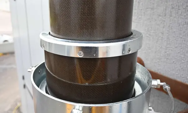
AMS Advanced Mechanical Solutions has developed a low-pressure pneumatic telescopic mast for navigation lights, signal equipment and sensors aboard yachts and superyachts. The prototype …
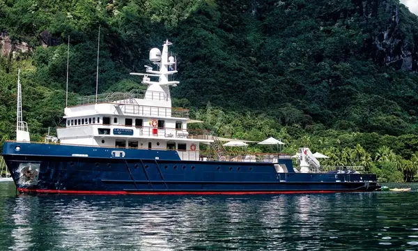
The 54.7m BUCCARA LATITUDE has been photographed in Germany’s Kiel Canal while sailing westward, highlighting a 1973 commercial vessel converted into an explorer yacht.
Superyacht Guide
Continue into the wider Superyacht Guide.
Business opportunities · Superyacht Guide
Companies serving the superyacht market can discuss clearly identified advertising, sponsorship and business-profile opportunities. Commercial activity remains separate from independent editorial coverage.