Raymarine Adds CMOR NEX GEN High-Resolution Mapping to Axiom 2
By Stephen Yardley · Edited by Stephen Yardley
Image: Raymarine
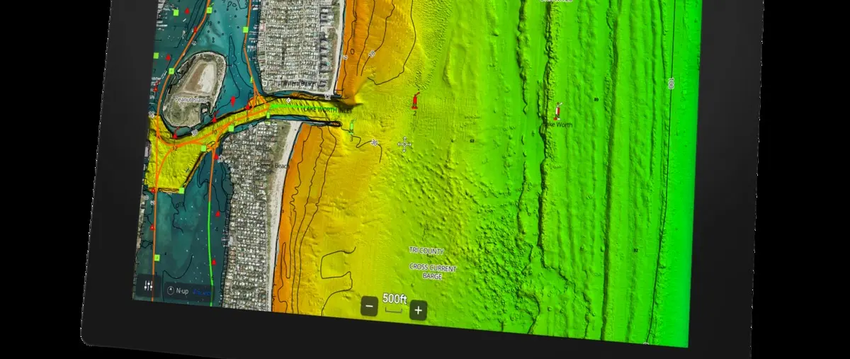
Raymarine Axiom 2 now supports CMOR NEX GEN charts with high-resolution bathymetry, navigation data, satellite imagery and route-planning information.
Raymarine has added compatibility between Axiom 2 chartplotters and CMOR NEX GEN high-resolution mapping. The chart package combines detailed seafloor imagery with conventional navigation data and satellite imagery in a single display environment.
The initial release covers South and West Florida, with a broader 13-region catalog planned. Axiom 2 units require LightHouse software version 4.11 or later to use the new mapping package.
CMOR NEX GEN includes bathymetric detail for ledges, wrecks, rock formations and other submerged features while retaining buoys, beacons and other navigation aids. It also adds recommended routes and course-planning information based on hazards, depth and vessel type.
Bridge clearances, marina layouts, fuel points and service information can be shown alongside satellite imagery of coastlines and shore facilities. The system adjusts the amount of information shown as the operator zooms in or out to avoid overloading the display.
Although detailed bathymetry is valuable to anglers and divers, the combined chart layers also have a practical role for yacht crews navigating unfamiliar approaches. Shoreline imagery, marina information and route suggestions can help bridge teams build a clearer picture before entering confined or shallow waters.
The integration gives Raymarine another third-party chart option within the Axiom ecosystem rather than forcing owners into a single cartography provider. For yachts operating regularly around Florida, that added choice can be useful during both cruising and tender operations.
Explore
Go deeper into the yachts, companies, events and destinations directly connected to this article.
Continue reading
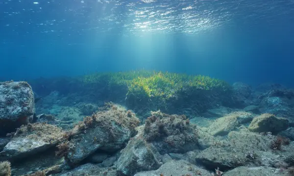
Raymarine has integrated more than 45,000 marine protected areas into LightHouse Charts to support route planning around sensitive and regulated waters.
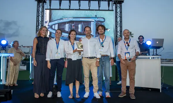
BlueNav Smart Mooring has won the Cannes Innovation Route award for navigation equipment, using electric propulsion and precision positioning.
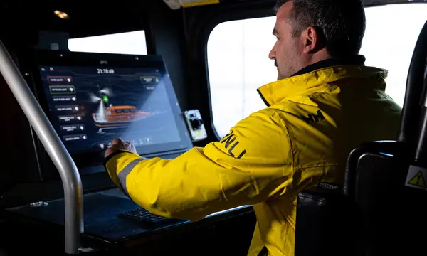
Raymarine and FLIR Marine will provide navigation, ship-control and thermal-imaging systems across the RNLI fleet under a five-year partnership.
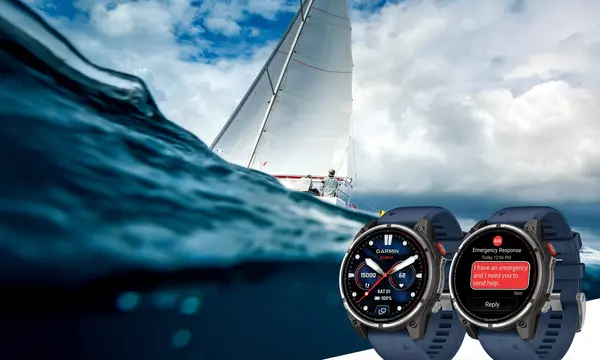
Garmin’s quatix 8 Pro combines inReach satellite and LTE connectivity, marine controls, SOS support and up to 15 days of smartwatch battery life.
Superyacht Guide
Continue into the wider Superyacht Guide.
Business opportunities · Superyacht Guide
Companies serving the superyacht market can discuss clearly identified advertising, sponsorship and business-profile opportunities. Commercial activity remains separate from independent editorial coverage.