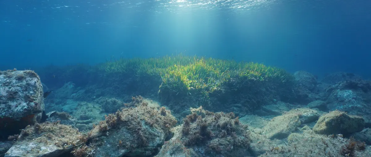
Raymarine Adds 45,000 Marine Protected Areas to LightHouse Charts
By Stephen Yardley · Edited by Stephen Yardley
Image: Raymarine
Raymarine has integrated more than 45,000 marine protected areas into LightHouse Charts to support route planning around sensitive and regulated waters.
Raymarine has integrated more than 45,000 marine protected areas into its LightHouse Charts, bringing conservation boundaries and sensitive zones directly into the navigation display. The database includes nature reserves, bird and seal sanctuaries, fish sanctuaries, ecological reserves and internationally recognised sensitive sea areas, giving crews another layer of information while planning a passage.
That information matters because yacht itineraries increasingly cross regions where environmental rules can vary between neighbouring coastlines or islands. A chart layer cannot replace local regulations, notices to mariners or professional passage planning, but it can make protected zones visible early enough for a captain or navigator to investigate the restrictions before arrival.
Raymarine says the LightHouse portfolio contains 45,108 protected areas across major boating regions worldwide. Australia accounts for more than 15,000 entries, while substantial datasets also cover Finland, Germany, Sweden, Italy, France, the Caribbean and multiple North American chart regions.
Scale matters because a conservation layer is most useful when crews can rely on it across a cruising programme instead of only in a handful of showcase destinations. Superyachts frequently move between jurisdictions during one season, so continuity of presentation can help bridge teams recognise when a new environmental layer deserves closer attention.
Traditional electronic charts focus on depths, hazards, aids to navigation and route planning, but protected-area data adds a different kind of operational context. It tells the navigator not simply where the yacht can physically pass, but where extra environmental care, local rules or route changes may be required.
That broader role reflects the way modern bridge systems are absorbing regulatory, weather and operational information alongside conventional cartography. The challenge is to present those layers without overwhelming the watchkeeper, which makes filtering, symbology and sensible zoom behaviour as important as the amount of data held in the chart database.
Raymarine positions the feature as a way to reduce accidental entry into restricted or sensitive zones and to support more conservation-aware navigation. For charter yachts and professionally managed private yachts, avoiding an infringement also protects the owner from operational disruption, reputational damage and the cost of responding to an avoidable regulatory issue.
Environmental awareness is also becoming part of destination planning rather than a specialist sustainability exercise carried out after the route has been chosen. When protected areas are visible during the first stages of passage planning, captains can discuss alternatives with owners and guests before a preferred anchorage or route becomes fixed in the itinerary.
The presence of marine protected areas in LightHouse Charts does not remove the need to verify local rules through official sources, especially because restrictions can change faster than hardware or stored chart data. A professional bridge team should therefore treat the layer as an alert and planning aid rather than as the sole legal authority for environmental compliance.
For superyacht operations, the value lies in making responsible navigation easier to incorporate into normal workflow. When conservation information sits on the same screen as the route, depth and hazard picture, environmental considerations become part of everyday passage planning instead of a separate subject that can be missed until the yacht reaches a sensitive area.
Explore
Go deeper into the yachts, companies, events and destinations directly connected to this article.
Continue reading
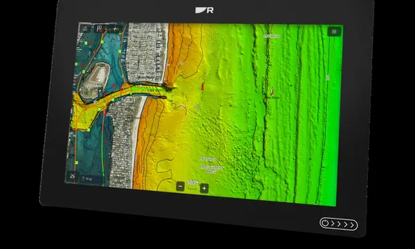
Raymarine Axiom 2 now supports CMOR NEX GEN charts with high-resolution bathymetry, navigation data, satellite imagery and route-planning information.
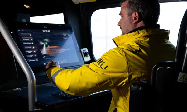
Raymarine and FLIR Marine will provide navigation, ship-control and thermal-imaging systems across the RNLI fleet under a five-year partnership.

Raymarine has expanded LightHouse Charts GEN2 with new regional coverage, updated hydrographic data and online chart management for Axiom systems.

Raymarine Axiom chartplotters can now monitor and control compatible Smartgyro stabilizers through a native LightHouse interface.
Superyacht Guide
Continue into the wider Superyacht Guide.
Business opportunities · Superyacht Guide
Companies serving the superyacht market can discuss clearly identified advertising, sponsorship and business-profile opportunities. Commercial activity remains separate from independent editorial coverage.