
Inmarsat Safety Data Hub Maps 106,975 Maritime Safety Broadcasts
By Stephen Yardley · Edited by Stephen Yardley
Image: Inmarsat Maritime / Viasat
Inmarsat Maritime has launched a safety-data platform combining three years of GMDSS distress information with 106,975 maritime safety broadcasts from 2025.
Inmarsat Maritime, part of Viasat, has launched a Maritime Safety Data Hub that combines three years of Global Maritime Distress and Safety System information with an analysis of 106,975 maritime safety broadcasts transmitted during 2025. The platform is intended to move beyond isolated incident reporting and show patterns in the conditions that repeatedly contribute to risk at sea.
The dataset is drawn from global commercial maritime activity rather than the superyacht fleet alone. Even so, the themes are relevant to captains and yacht managers because severe weather, navigational warnings, operational pressure and geopolitical disruption affect route planning and bridge decision-making regardless of whether a vessel is carrying cargo, passengers or private guests.
GMDSS data records the point at which a situation has already become serious enough to generate a distress or safety communication. By combining several years of those events, Inmarsat can look for recurring geographic, seasonal and operational patterns rather than treating every case as an isolated emergency.
The additional 106,975 safety broadcasts broaden that picture considerably. Maritime Safety Information includes navigational and meteorological warnings that may never lead to a casualty but still reveal where vessels repeatedly encounter hazards, allowing operators to examine exposure before an incident occurs.
Modern route risk is rarely driven by one factor. A yacht may be considering sea state, tropical systems, navigational restrictions, security warnings and port access at the same time, so a dataset that allows those signals to be compared can support more informed passage-planning discussions.
Inmarsat says the hub is designed to highlight the evolving impact of environmental hazards, operational pressures and geopolitical instability. It should not replace official warnings, flag guidance, coastal-state instructions or the master's judgement, but it can give management teams a broader context for deciding where additional planning attention is justified.
Large yachts increasingly undertake long-range programmes that cross multiple weather systems and security environments during a single season. Management companies can use historical safety patterns to challenge itinerary assumptions, while captains can compare intended routes with areas where distress traffic or safety broadcasts have been unusually concentrated.
The value is strongest when historical analysis is combined with current information. A risk pattern from previous years cannot tell a bridge team what is happening tonight, but it can identify the parts of a route where additional forecasts, notices, security intelligence or contingency planning may deserve priority.
The launch also shows how safety information is moving into the same connected environment as maintenance, fuel, class and communications data. Yacht managers already use digital platforms to monitor machinery and compliance; aggregated maritime-risk information adds another layer that can be reviewed from shore before a vessel reaches a higher-risk area.
The operational test will be whether the data is presented clearly enough to improve decisions rather than simply create more alerts. Used carefully, Inmarsat's Safety Data Hub could help bridge teams and managers ask better questions about route exposure while leaving formal navigational responsibility where it belongs: with the vessel's master and officers.
Explore
Go deeper into the yachts, companies, events and destinations directly connected to this article.
Continue reading
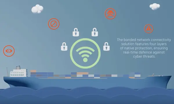
Bureau Veritas has granted Cyber Security Type Approval to Inmarsat Maritime’s NexusWave bonded multi-network service against IACS UR E27.
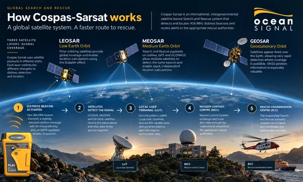
Ocean Signal has published a current guide to the Cospas-Sarsat chain that carries 406MHz EPIRB distress alerts from a vessel to rescue coordination authorities.

VPS has launched SampLogic 2.0 to modernise worldwide collection and tracking of marine fuel samples on their way from vessels and ports to laboratories.
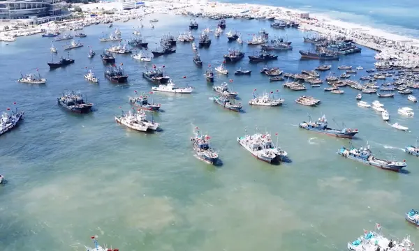
Gard says half of 65 fishing-vessel collision claims occurred in Chinese waters, with speed, lookout and over-reliance on electronics among recurring risks.
Superyacht Guide
Continue into the wider Superyacht Guide.