
dsnm Acquires NavigatX to Unite Superyacht Navigation and Bridge Hardware
Superyacht navigation specialist dsnm has acquired sister company NavigatX, bringing navigation management, passage-planning software and bridge refit support together.
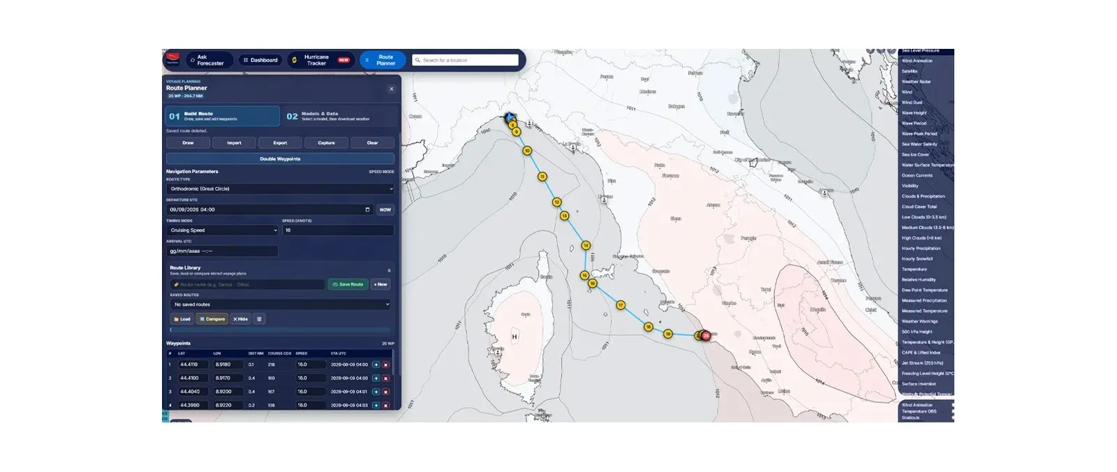
Navimeteo introduces Route Planner within Weather Maps, allowing captains to draw proposed passages and compare forecast models along the full route.
Navimeteo has added Route Planner to its Weather Maps platform, enabling users to draw a passage and examine expected meteorological conditions along the journey rather than only at a departure port or destination. The functionality was described by parent group Fratelli Cosulich on 22 September 2026 as an extension of an existing forecasting service used by maritime customers.
Users are able to define a route within the weather interface, choose forecasting models from international meteorological centres and compare scenarios as conditions develop. The company also provides a guided tutorial covering route creation, model selection and the interpretation of forecasts. The announcement does not describe the service as a complete replacement for an approved electronic chart display or bridge navigation system.
A superyacht passage may cross several weather systems even during a relatively short coastal transfer. An expected wind increase at an exposed headland, a band of uncomfortable swell or a change in arrival timing can affect passenger comfort, crew watches and the decision to seek shelter. Looking only at the weather forecast for the starting and ending marinas can miss relevant conditions over the sea between them.
Route-based assessment allows a captain to consider how the expected state of the sea intersects with a planned track. Comparing more than one forecast model also helps expose uncertainty rather than implying that a single weather depiction is always correct. Different forecast sources may disagree on the timing or severity of a frontal system, and a conservative route decision can be preferable to assuming the most favourable outcome.
The new tool should be treated as information supporting professional voyage planning, not permission to ignore navigational hazards or passage regulations. Detailed routes still require checks against updated nautical charts, notices to mariners, port restrictions, under-keel clearance and the yacht's actual capabilities. The skipper and watch team remain responsible for evaluating real observations and changing conditions during the passage.
A modern yacht may receive position, weather and voyage data from multiple displays and online sources. Crew training should make clear which service provides forecast interpretation and which approved equipment is used for navigation, collision avoidance and position monitoring. An internet-based forecast map can be useful without necessarily being appropriate as the primary means of route execution.
Navimeteo supplies maritime weather forecasting and routing advice, and is part of the broader Fratelli Cosulich Group's information-technology and digital-services activities. The group's announcement positions Route Planner as an incremental tool responding to the ways professional mariners already prepare trips and compare weather information.
For a yacht management office, the value may include more consistent pre-departure discussion between the bridge and shore management, particularly when a vessel is repositioning across several cruising regions. Operational suitability will depend on model coverage, forecast updates, connectivity and crew familiarity. The official illustration accompanying this report comes from the Fratelli Cosulich release, not from an unrelated stock-weather image.
Continue reading
Superyacht navigation specialist dsnm has acquired sister company NavigatX, bringing navigation management, passage-planning software and bridge refit support together.
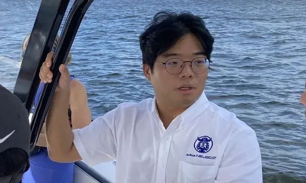
Avikus USA executive Sangwon Shin is discussing how sensors, steering, propulsion and AI need to operate as one system for future assisted superyacht navigation.
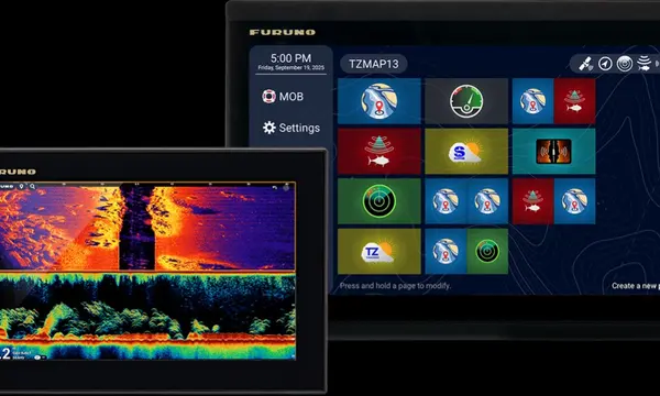
Furuno’s TZMAP9 and TZMAP13 combine stand-alone navigation, TZ MAPS cartography and built-in TruEcho CHIRP sonar in compact displays.
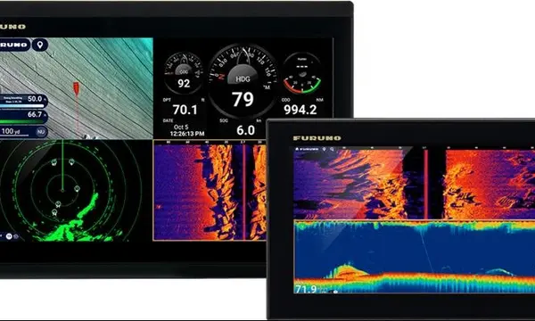
Furuno’s TZtouchE series adds 9- and 13-inch networked MFDs with TZ MAPS, radar and sonar integration in a more compact navigation package.
Superyacht Guide
Continue into the wider Superyacht Guide.
Business opportunities · Superyacht Guide
Companies serving the superyacht market can discuss clearly identified advertising, sponsorship and business-profile opportunities. Commercial activity remains separate from independent editorial coverage.