Company
The International SeaKeepers Society
Explore the company profile and related Superyacht Guide coverage.
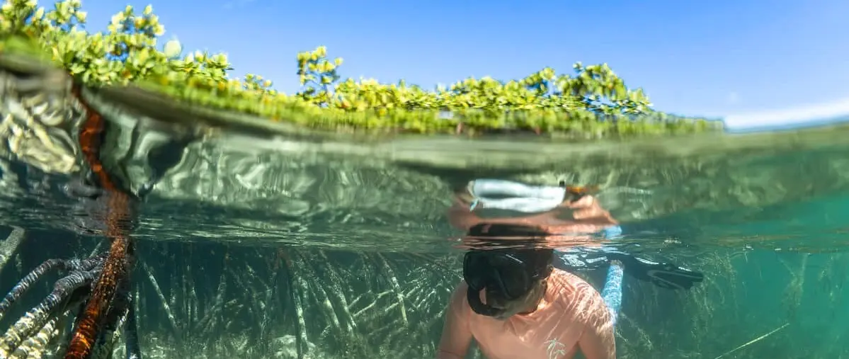
DIONE SUN supported marine researchers at eighteen sites in the Bahamas, mapping more than 700 acres of reef around Rum Cay and Conception Island.
The 32.2-metre Broward motor yacht DIONE SUN served as the offshore base for an ecological research expedition around Rum Cay and Conception Island National Park from 23 to 29 August 2026. The International SeaKeepers Society helped researchers from the Perry Institute for Marine Science and the Bahamas National Trust carry out assessments at eighteen sites, including seven around Rum Cay and eleven within the protected island park. The project provides a concrete example of a private superyacht supporting remote marine science.
The organisers report mapping more than seven hundred acres of reef habitat during the week. This is a record of survey effort, not a claim that every part of those areas was found to be healthy or that habitat condition has already improved. The research is intended to establish evidence on which future management decisions can be based.
Rum Cay and Conception Island lie in an island chain with important coral reefs, seagrass beds, mangroves and fisheries habitat. Their relative remoteness can make repeated scientific access expensive and time-consuming, even where the ecological importance of an area is widely recognised. Without consistent baseline information, conservation teams may struggle to determine whether a reef is recovering, stable or deteriorating over a period of years.
Rum Cay was a priority for new monitoring because the researchers had not previously established the same systematic survey locations there. Conception Island National Park offered an opportunity to revisit areas first examined in 2017, giving scientists a basis for future comparisons. Any conclusion about changes between survey years still requires analysis of the methods, season and specific sites.
The research team used standardised underwater visual surveys, photogrammetry and drone mapping to document reef structures and their wider surroundings. Divers assessed coral health, reef-fish communities, benthic composition and the distribution of species such as queen conch, while aerial reconnaissance helped identify suitable locations and map habitats beyond individual dive sites. The combination allows observations made underwater to be placed within a larger geographic picture.
Photogrammetry uses overlapping photographs to reconstruct the shape and surface of objects or habitats. In marine science it can help create repeatable images of sections of reef, potentially recording structural changes more precisely than a series of casual underwater photographs. Yet the resulting maps still depend on adequate visibility, careful alignment and consistent survey procedures.
SeaKeepers reported seven sites examined around Rum Cay and eleven within Conception Island National Park, for eighteen in total. Researchers mapped more than seven hundred acres of reef across both areas, with aerial reconnaissance helping to select a monitoring location at Rum Cay. The team also established a new monitoring site at Conception Island while revisiting places assessed during the earlier 2017 campaign.
The numerical results matter because they define where information has been collected and where gaps remain. Eighteen sites cannot describe every habitat around two islands, and the condition of marine ecosystems can vary substantially over relatively short distances. The next stage is to evaluate the observations and repeat measurements at comparable locations and intervals.
Coral reefs, seagrass beds and mangroves are not independent patches of nature. Many marine species move between them over their life cycles, using sheltered nursery habitats before entering wider reefs and feeding grounds. Recording fish communities and benthic conditions alongside mapping allows scientists to interpret the state of a connected ecosystem rather than focusing only on the most visually dramatic coral colonies.
Queen conch is one example of a species whose condition matters to both ecology and local fisheries. Surveys can provide evidence relevant to habitat and management choices, but a single expedition cannot establish the total population or justify a particular catch limit without broader analysis. Scientists must integrate local ecological knowledge, historical observations and repeat sampling.
DIONE SUN was delivered by American builder Broward Marine in 1993 and is an aluminium motor yacht of approximately 32.2 metres. She is reported to offer accommodation for eight guests across four cabins with a working crew, providing a platform capable of moving between remote Bahamian islands while supporting equipment and daily survey operations. For this project, the yacht's value was the ability to give researchers practical access to otherwise difficult locations.
A private yacht is not automatically a fully equipped scientific research vessel. The research team must bring suitable sampling and mapping equipment, and the captain remains responsible for safe navigation, dive and tender operations within the yacht's capabilities. Coordinating surveys around weather, fuel, protected-area rules and the deployment of divers becomes central to completing useful work safely.
The Perry Institute for Marine Science led much of the fieldwork, with marine scientist Dr Krista Sherman listed in the expedition leadership. The Bahamas National Trust contributed knowledge and responsibilities connected with protected areas, while SeaKeepers matched the project with DIONE SUN and helped coordinate access. The yacht's owners and crew provided the vessel and operational support rather than directing the scientific conclusions.
The partnership is useful because each participant brings different expertise. Scientists determine survey protocols and interpret observations, the national conservation organisation connects findings to management priorities, and the yacht provides the physical platform. Good project design preserves these roles while allowing field plans to adjust responsibly when weather or site access differs from expectations.
The expedition's observations are intended to serve as a baseline for future monitoring, with SeaKeepers indicating that repeat assessments may take place on a roughly three-year cycle. Results could inform reef and habitat restoration, fisheries management and priorities for further surveys, but those are potential applications rather than conservation outcomes already achieved in August. The team will need time to validate and interpret the material.
DIONE SUN's participation illustrates a valuable way for owners to support marine science without claiming to solve complex ecological problems through a single voyage. The contribution was concrete: seven days of vessel access, eighteen survey sites and mapping across hundreds of acres. Continued monitoring and decisions by the relevant scientific and Bahamian authorities will determine how that information is used.
Explore
Go deeper into the yachts, companies, events and destinations directly connected to this article.
Company
Explore the company profile and related Superyacht Guide coverage.
Continue reading
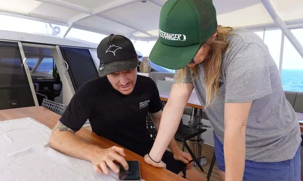
The 37m sailing yacht RADIANCE hosted the first joint manta-ray surveys by Fiji and New Zealand researchers in the northern Lau Group, documenting baseline …
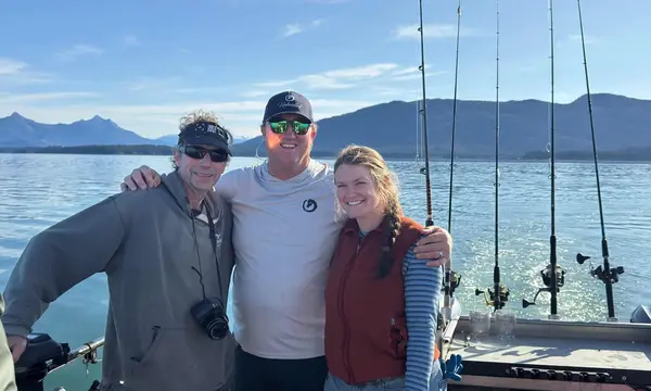
The 58m UNBRIDLED hosted Dr Fred Sharpe and SeaKeepers in Alaska for humpback-whale observations and wildlife-navigation education.
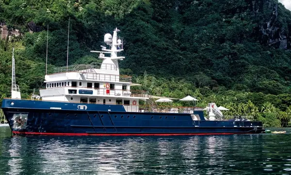
The 54.7m BUCCARA LATITUDE has been photographed in Germany’s Kiel Canal while sailing westward, highlighting a 1973 commercial vessel converted into an explorer yacht.
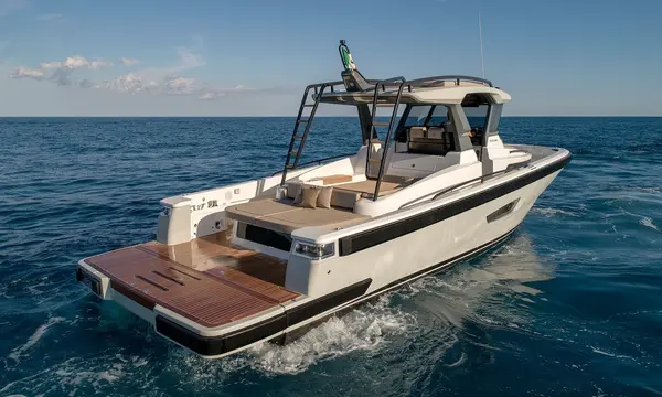
A newly sold 13m Bluegame BG42, now named PH3, will operate as a fast fishing-capable chase boat for 37m Benetti charter yacht EH2.
Superyacht Guide
Continue into the wider Superyacht Guide.
Business opportunities · Superyacht Guide
Companies serving the superyacht market can discuss clearly identified advertising, sponsorship and business-profile opportunities. Commercial activity remains separate from independent editorial coverage.